High-Resolution Satellite Imagery: Applications and Benefits

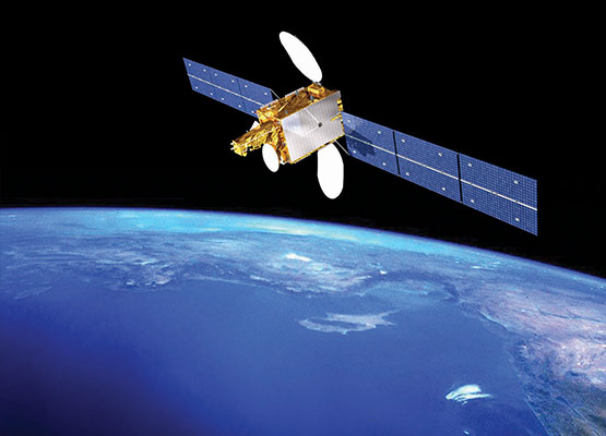
Satellite imagery offers us a breathtaking view of our planet from above, providing a unique perspective that transcends geographical boundaries. Through the lens of satellites orbiting high above Earth, we are granted the ability to witness landscapes, cities, and natural phenomena with clarity and detail previously unimaginable. This technology has revolutionized how we explore and understand our world, offering insights into both the vastness of our planet and the intricacies of its diverse ecosystems and urban environments.
From tracking climate patterns and changes in land use to monitoring natural disasters and urban growth, satellite imagery has become an invaluable tool for scientists, policymakers, and the general public alike. By harnessing the power of these images, we can delve into the heart of remote regions, study the impact of human activity on the environment, and gain a deeper appreciation for the interconnectedness of our global community. Join us on a captivating journey beyond borders as we explore the wonders of the world through the lens of satellite imagery.
History of Satellite Imagery
The history of satellite imagery dates back to the late 1950s during the Cold War era. The United States and the Soviet Union were engaged in a space race, which led to the launch of the first-ever artificial satellite, Sputnik 1, by the Soviets in 1957.
In 1972, the United States launched the first Landsat satellite, marking a significant milestone in the field of satellite imagery. Landsat paved the way for the systematic collection of Earth observation data, providing valuable insights into various disciplines such as agriculture, forestry, urban planning, and environmental monitoring.
Over the years, advancements in technology have revolutionized satellite imagery, enabling high-resolution imaging, frequent revisits, and the integration of data from multiple sources. Satellite imagery of UAE , satellite imagery plays a crucial role in disaster response, climate change analysis, natural resource management, and many other applications, making it an indispensable tool for exploring the world from above.
Applications of Satellite Images
Satellite images have a wide range of applications in various fields such as agriculture, urban planning, and disaster management. In agriculture, satellite imagery is utilized to monitor crop health, estimate yield, and optimize irrigation practices. By analyzing satellite images, farmers can make informed decisions to increase productivity and sustainability.
Another key application of satellite imagery is in urban planning and development. City planners use satellite images to monitor changes in urban areas, assess infrastructure needs, and plan for future growth. By analyzing satellite images, city authorities can make informed decisions about zoning, transportation networks, and environmental conservation strategies.
Satellite images play a crucial role in disaster management by providing real-time data on natural disasters such as floods, wildfires, and earthquakes. Emergency responders use satellite imagery to assess the extent of damage, plan rescue operations, and allocate resources effectively. By leveraging satellite images, disaster management agencies can enhance their preparedness and response capabilities.
Future Developments in Satellite Imaging
In the near future, advancements in satellite imaging technology are expected to revolutionize various industries. Enhanced resolution capabilities will allow for more detailed and precise satellite images to be captured, providing valuable insights for urban planning, agriculture, and environmental monitoring.
Furthermore, the integration of artificial intelligence and machine learning algorithms into satellite imaging systems will streamline data analysis processes. This will enable quicker identification of patterns and anomalies within satellite images, leading to faster decision-making and more efficient resource allocation.
Additionally, the miniaturization of satellite components will pave the way for the deployment of smaller, more cost-effective satellites into orbit. These smaller satellites, known as CubeSats, will contribute to a significant increase in satellite imaging coverage, expanding the reach and accessibility of satellite data for research, disaster response, and commercial applications.